Ⅰ. Geographic Location, Administrative Area, Population, Size, Ethnic Composition
Situated in the western part of Shandong Peninsula, Weifang lies between 35°41′and 37°26′ N latitude and 108°10′ and 120°01′ E longitude. Measured by slant distance, Shandong`s provincial capital Jinan is 183km away to the west and China’s capital Beijing 410km away to the northwest. It neighbors Yishan Mount to the south, Bohai Bay to the north, Qingdao to the east, Zibo and Dongying to the west and Linyi and Rizhao to the south. Covering an area of 15,859 square km, it has four districts Kuiwen, Weicheng, Hanting and Fangzi, six cities Qingzhou, Zhucheng, Shouguang, Gaomi, Anqiu and Changyi, and two counties Changle and Linqu under its jurisdiction. According to the statistics of the public security organs, Weifang’s total registered population was 8.625 million by the end of 2008. While according to the calculation based on the population change and labor investigation, the permanent population was 8.8954 million by that time. There are people of 51 ethnic groups residing in Weifang, including Han, Man and Hui. The central urban area covers 128 square kilometers and the population in this area is 1.08 million.
Ⅱ. Historic Evolution
Weifang boasts its long history. Back to more than 6,000 years ago, human beings were found to reside near the ancient riverbed of Mihe River. Ever since the establishment of the Xia Dynasty (about 21st Century B.C.-16th Century B.C.), the first dynasty in Chinese history, ancient Weifang never stopped to witness the founding of kingdoms, states, shires and towns on its realm. During the sovereign of Xia and Shang (about 16th Century B.C.-1066 B.C.) Dynasties, kingdoms like Zhenguan, Zhenxun, Han and Sanshou existed on the realm of ancient Weifang. In early Zhou Dynasty (1066 B.C.-221 B. C.), King Wu sent Grand Duke Jiang to govern the kingdom of Qi, whose capital was Yingyi (today’s Changle). During the Spring and Autumn Period (776 B.C.-476 B.C.), ancient Weifang was separately governed by the Kingdoms of Qi, Lu and Ji. The realm of today`s Weifang was under the jurisdiction of the shires of Jiaodong, Linzi and Langya during the Qin Dynasty (221 B.C.-206 B.C.), of Qingzhou prefecture governor`s department during the Han Dynasty (206 B.C.-A.D. 220), of Henan province during the Tang Dynasty (A.D.618-907), of East Jingdong Province in Song Dynasty (A.D.960-1279), of Qingzhou and Laizhou during the dynasties of Ming (A.D.1368-1644) and Qing (A.D.1644-1911). During the early period of the Republic, it was governed by Jiaodong, followed by Shandong province from 1927. After the liberation on April 27, 1948, Weifang Special City was established, which was afterwards changed into Changwei Commissioner`s Zone, followed by Changwei Area from March 1967, Weifang Area from July 1981 and Weifang Municipality from October 1983. After that, it has been directly governed by the Provincial government and been governing counties and districts on its realm. Bosha county, formerly governed by Weifang, was put under the jurisdiction of Zibo Commissioner’s Area in October 1958, followed by Linzi county’s jurisdiction under Zibo Municipality from 1969, Jiaonan, Jiaoxian counties` and Huangdao district`s jurisdiction under Qingdao Municipality from 1978, Pingdu county’s jurisdiction under Qingdao Municipality from October 1983 and Wulian county`s jurisdiction under Rizhao Municipality from December 1992. In 2007, administrative division adjustment was conducted within Weifang, which led to the transfer of Huangqibao town, Zhaoge town from Anqiu city and Taibaozhuang town from Changyi city to Fangzi district, of Dajiawa sub-district office from Shouguang city to Hanting district. Today there are four districts, six cities and two counties totally making up of 68 towns, 47 sub-district offices, 8,963 villagers` committees and 636 residents` committees under the jurisdiction of Weifang.
Ⅲ. Geographic Features
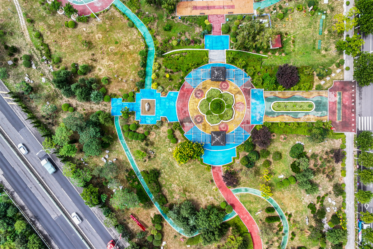
The general feature of Weifang`s terrain is best described as ``higher south and lower north``. Most of the southern part, 5,646 square kilometers and 35.6% of Weifang’s administrative area, is covered by hilly areas, with the ground elevation ranging from 100 to 1,032 meters above the sea level. The middle part, 6,597 square kilometers and 41.6% of Weifang, is made up of sloppy plain areas, with the ground elevation ranging from 7 to 100 meters above the sea level and the sloping ranging from 1/500-1/1,200. And the northern part, 3,616 square kilometers and 22.8% of Weifang, is composed of coastal plain areas, with the ground elevation less than 7 meters above the sea level.
Major Rivers: There are 103 rivers with separate basin areas more than 50 square kilometers and five principal river systems including Weihe River, Mihe River, Bailang River, south and north Jiaolai Rivers and Xiaoqinghe River in Weifang.
Weihe River, 246 km long, with basin area of 6,367 square kilometers;
Mihe River, 177 km long, with basin area of 3,863 square kilometers;
Bailang River, 127 km long; basin area of 1,237 square kilometers;
South Jiaolai River, 42 km long, including 7.4 km in Gaomi, with basin area of 1,500 square kilometers;
North Jiaolai River, 103.5 km long, with basin area of 3,900 square kilometers;
Xiaoqinghe River, 237 km long, including 19.8 km in Weifang; flowing into Bohai Sea from Shouguang, with basin area of 10,276 square kilometers;
By the end of 2007, the forest coverage of Weifang was 25.6%, up by 16 percentage points over 1978.